Milestone | Regional protocol
First Design Phase Complete for the Regional Road Crash Database
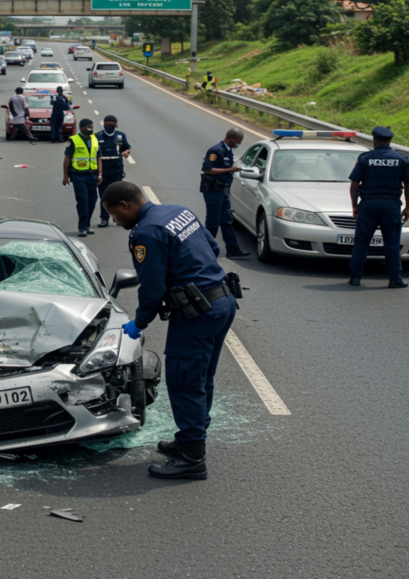
The harmonised data model and cross-border exchange protocol for road crash reporting across the Northern Corridor member states has completed its first phase of design.
- Milestone
- First design phase complete
- Scope
- Northern Corridor member states
- Partners
- NCTTCA and the East African Community
What happened
The first phase of design for the regional road crash database is complete. That phase produced the two things every later phase depends on: a harmonised data model for what a crash record contains, and the exchange protocol by which one nation's record can be read by another.
 Go further6-Nation road crash platformLearn more
Why the data model came first
Six countries already collect crash data. The obstacle to a regional picture was never collection, it was that each country counts differently. A junction collision recorded one way in one country and another way next door does not aggregate into a corridor view, it aggregates into a misleading one.
The harmonised model settles what a crash record must contain, how severity is classified, how a location is expressed, and how a vehicle and a casualty are described, so that six national datasets can be read as one without anyone abandoning their own system.
The problem it solves
The Northern Corridor is a single road network crossing six sovereign jurisdictions. A lorry that starts in Mombasa and ends in Bujumbura passes through several countries and several separate record systems, none of which sees the whole journey.
That makes the most dangerous stretches invisible at exactly the level where they should be most visible. A black spot near a border is under-counted by both sides, because each holds only half the picture. Investment then goes where the data is complete rather than where people are dying.
What it means on the road
For a transport ministry, evidence about which stretches of corridor actually kill people, and therefore where a barrier or a junction redesign is worth funding.
For law enforcement and emergency services, a shared view across a border rather than a handover at it.
For a driver, this eventually shows up as a safer road, arrived at by measurement instead of assumption.